Google Earth data
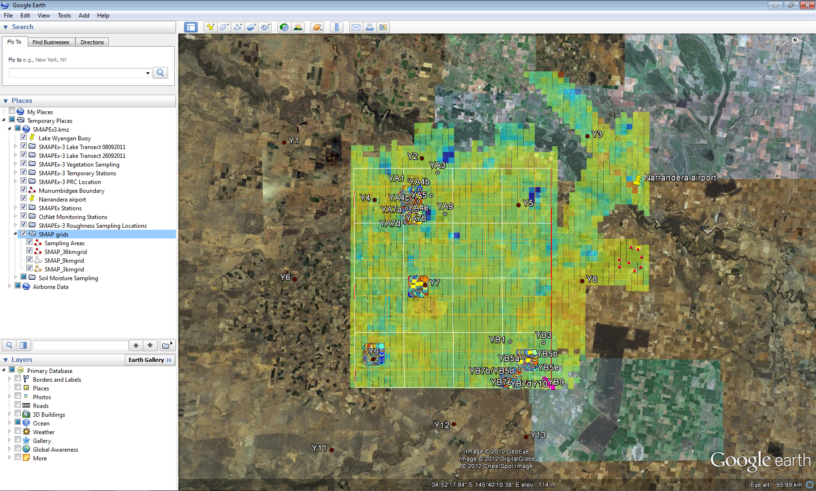
In order to provide a quick overview of the SMAPEx-3 data, all data have been organized and converted into KMZ files, which can be opened via Google Earth (free software). You can download a GoogleEarth package for SMAPEx-3 from the Download Centre. This file includes:
- Ground data
- Soil moisture data
- Locations of vegetation sampling
- Locations of roughness sampling
- Lake station and transects
- Monitoring networks (SMAPEx, OzNet and supplementary)
- PRC location
- Airborne data
- Flight plan
- PLMR brightness temperatures
- Other
- Murrumbidgee Boundary
- SMAP grids
- Perimeter of the focus areas